English
 Español
 Français
 Deutsch
 Italiano
 Português
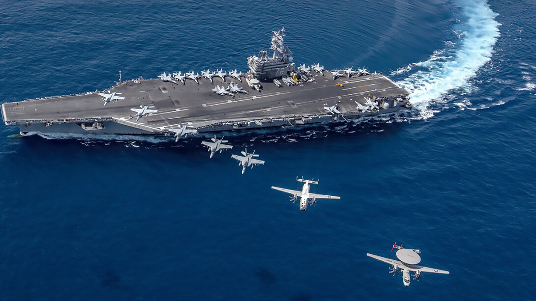
Borders—from Kashmir to the Sahara and Korea to South Sudan—have been at the heart of dozens of armed conflicts in the past few years, making the headlines of international media outlets. Constantly revised and redrawn, the definition of the state’s boundaries is a distinctive feature of statebuilding.
Political science defines the "state" as a political entity ruling over a body of people that occupies a finite territory. According to Max Weber, the state is distinguished by its ability to exert a monopoly on the use of force within its defined realm, establishing order in an otherwise lawless society. More than squiggly lines on a map, borders delimit an imagined space, separating territories, peoples, and cultures.
Their delineation is, at its core, a complex process between sovereign states, which, more often than not, leads to belligerent actions. In fact, according to John A. Vasquez, 79% of all the wars waged between 1648 and 1990 were fought over territorial-related issues1.
The modern notion of borders as inviolable markers of state authority stems from the Peace of Westphalia (1648), a pan-European treaty that brought peace to a continent shaken by religious conflicts and territorial skirmishes. After years of deliberations, delegations from all over Europe came to an agreement: each political entity should be recognized as sovereign within its own borders.
Sovereignty over the seas was, however, not part of that agreement. During the sixteenth century, trailblazers in the legalization of the maritime space, such as Fernando Vázquez de Menchaca (1512–1569) and Alberico Gentili (1552–1608), emerged, arguing in favor of the principle of freedom of the seas. Although their essays briefly brushed upon the subject of state sovereignty over the seas, it was only during the eighteenth century that the idea of territorial waters truly materialized. Ownership of territorial waters was, at the time, defined as being ''a cannon shot'' away from land, a measure amounting to about 3 nautical miles.
But the development of new intercontinental trade routes, based on the exploitation and enslavement of African populations, as well as two world wars, brought significant change to the geopolitical order. The discovery of new fossil fuel reserves, the growing demand for food to sustain an exponentially growing global population, and the escalation of geopolitical tensions all contributed to the renewed strategic interest in maritime space.
As Clive Schofield and Victor Prescott found out in their magnum opus entitled The Maritime Political Boundaries in the World, out of 427 disputed maritime boundaries, only about 168 have been formally settled, with many of these still being sources of contention. Maritime space has therefore long stood, and continues to stand, at the center of geopolitical concerns.
Its codification into international law was, nonetheless, a lengthy process. Despite some attempts to codify maritime boundaries and rights of usage in international law through the League of Nations in the 1930s, it is only in 1958, through the Geneva Convention on the Law of the Sea, that a comprehensive, international legal framework tackling maritime issues crystallized.
The Law of the Sea, from the Geneva Convention on the Law of the Sea to the UNCLOS
Between February and April 1958, representatives from 86 countries gathered in Geneva in the hope of settling an issue that had been largely disregarded since the Second World War: the use and regulation of maritime spaces around the globe. From the debates emerged the premises of a clear delimitation of distinctive maritime zones (baselines, territorial sea, contiguous zone, and the famed Exclusive Economic Zone (EEZ)) upon which states exert varying degrees of influence, as well as the first successful codification of international customary law on maritime issues. Initially founded upon the principle of ''equidistance," according to which boundaries are drawn at equal distance from the nearest points on the coasts of the neighboring states, the discipline quickly grew to incorporate additional tenets, accommodating unique and complex geographical cases.
The North Sea Continental Shelf case, opposing the Federal Republic of Germany, Denmark, and the Netherlands, marked a turning point in the doctrine, introducing the idea of "equity" in the settlement of international maritime disputes. In its 1969 decision, the International Court of Justice ruled that the prevailing idea of equidistance could not be applied uniformly to every case and that any legal claim should achieve an equitable result for all the parties involved. Ever since, these approaches—equity and equidistance—have been conjointly employed to settle cases involving irregular coastlines, historical claims, and geographical disparities.
Followed up by the United Nations Convention on the Law of the Sea (UNCLOS) (1982), the Law of the Sea evolved into a comprehensive framework addressing a range of issues, such as halieutical matters, navigation rights, and energy resources management. Signed by 170 countries, its success is undeniable, going as far as establishing a dedicated institution, the International Tribunal for the Law of the Sea, to find a solution to longstanding disagreements.
Yet, despite its remarkable breadth and near-global acceptance, UNCLOS presents one critical gap: it did not establish a binding obligation for states to submit unresolved disputes to international tribunals. While the Convention provides mechanisms for arbitration and adjudication, recourse to these bodies remains largely voluntary. Nowhere is this omission more evident than in the South China Sea, where historical claims and imperialist endeavors pose a threat to regional peace.
 An exclusive economic zone (EEZ), as prescribed by the 1982 United Nations Convention on the Law of the Sea.
Imperialist endeavors and historical violations in the South China Sea
The twenty-first century ushered in drastic technological change, fueling the need for fossil fuels and strategic minerals used in everything ranging from smartphones and data centers to electric vehicles. The seabeds, largely unexplored by humankind, prove an interesting and valuable source of these elements, bringing another layer to maritime disputes.
To paraphrase Victor Prescott, "States seek to use the oceans for precisely the same reasons as they use their territory: to provide security and the opportunity for development 2." And with an untapped pool of 11 billion oil barrels and 190 trillion cubic feet of natural gas3, it makes sense that the South China Sea stands at the top of the most contested regions in the world. Between rising military tensions, the growing need for resources, and the acceleration of climate change, this assessment stands truer than ever, especially in the South China Sea, where states increasingly assert their military and economic influence.
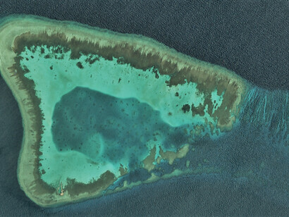
The region is indeed rife with examples of maritime disputes, opposing various claims over small parcels of land whose value derives less from their inherent value than the Exclusive Economic Zones they generate. The peculiar geography of that area, characterized by narrow straits, clustered islands, and overlapping maritime zones, makes such disputes inevitable, often requiring bilateral discussions or even arbitration before international judicial bodies to reach a consensus. The problem, however, is that even when these authorities are asked to adjudicate maritime claims, their decisions are often disregarded.
In 2013, the Philippines raised such concerns to the Permanent Court of Arbitration located at The Hague, arguing that the Chinese "nine-dash line policy"4 violated the United Nations Convention on the Law of the Sea, a convention to which China is a signatory. Three years later, the court ultimately dismissed the Chinese claims, ruling in favor of the Philippines on nearly all counts. The judgement was, of course, welcomed unfavorably by the Chinese government, which promptly rejected the court's decision, arguing it did not recognize its authority.
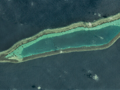
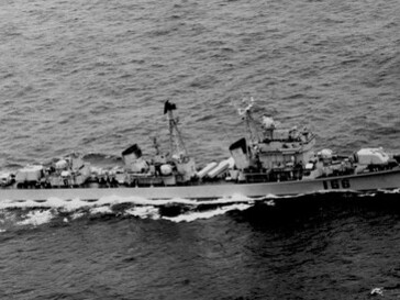
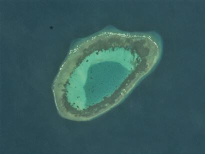
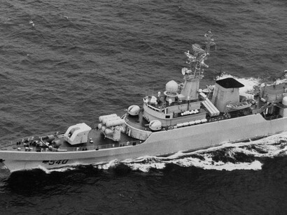
But aside from a disdain for international law, it is also the region's peculiar history that proves to be a barrier to a peaceful resolution of maritime disputes. Nationalist movements in China and Japan, for instance, have transformed the disagreement surrounding the Senkaku-Diaoyu into a symbolic battle and a rallying cause, elevating these uninhabited islands into a national cause. This belligerent vision has encouraged radical actions from military forces, as China establishes illicit military installations in the Paracel and Spratly Islands, and as Japan drastically increases its arsenal and counterstrike capabilities.
Overall, the escalation of military actions in the South China Sea renders a peaceful resolution of maritime disputes. The United Nations Convention on the Law of the Sea, although comprehensive, leaves substantial grey areas that states can exploit to justify their unlawful activities in the high seas. Rooted in the principle of state sovereignty and reliant on voluntary compliance, international courts function largely as advisory bodies and, as a result, remain ineffective in enforcing their rulings.
In the end, the broad ramifications of climate change (erosion of coastlines, fish stock displacements), the interconnectedness of the global economy, and the discovery of additional energy resources will either spark tensions or spur new cooperation formats in the area. On the other side of the globe, countries like Nigeria and São Tomé and Príncipe have already come up with unique ways to exploit resources in disputed maritime spaces, notably by setting up a Joint Development Authority.
The settlement of maritime disputes in Southeast Asia will therefore greatly depend on the leader's priorities: whether it is unilateral gains, serving national interests, or the overall stability of the region.
References
1 Vasquez, John A. “Why Do Neighbors Fight? Proximity, Interaction, or Territoriality.” Journal of Peace Research, vol. 32, no. 3, 1995, pp. 277–293.
2 Prescott, John Robert Victor. "The political geography of the oceans" (1975).
3 Council on Foreign Relations. ''Territorial Disputes in the South China Sea'' (September 17, 2024).
4 The "nine-dash line policy," first introduced in a 1947 maritime map, is a visual representation of the Chinese maritime claims in the South China Sea. This vast area, contested by jurists and geopolitical specialists, would include disputed islands such as the Senkaku-Diaoyu, the Paracel Islands, the Pratas Islands, the Spratly Islands, the Macclesfield Bank, and the Scarborough Shoal. Fun fact: the movie Uncharted (2022) was banned in the Philippines and Vietnam for its inclusion, in one of its scenes, of a map featuring this so-called ''nine-dash line.