English
 Español
 Français
 Deutsch
 Italiano
 Português
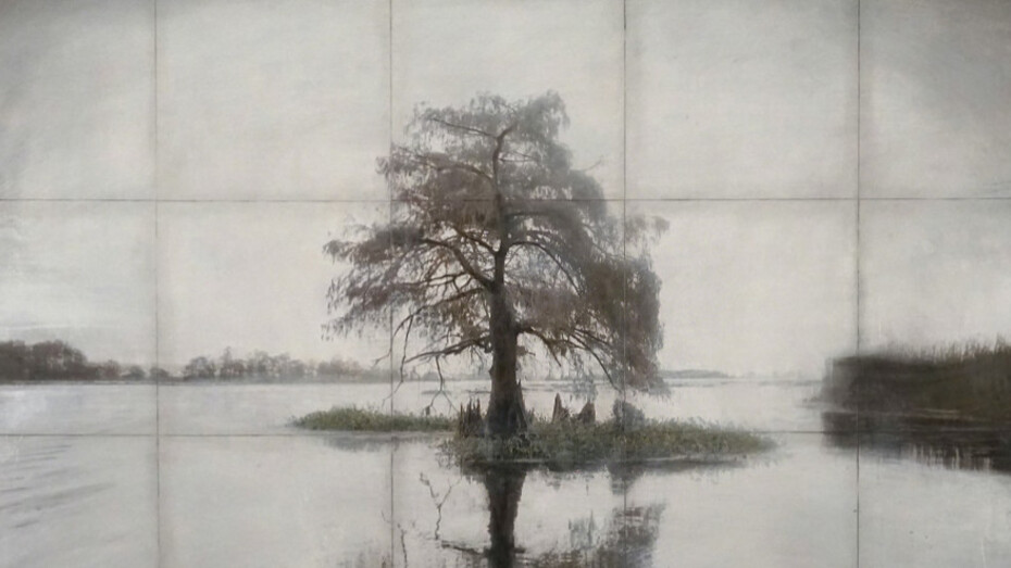
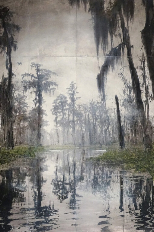
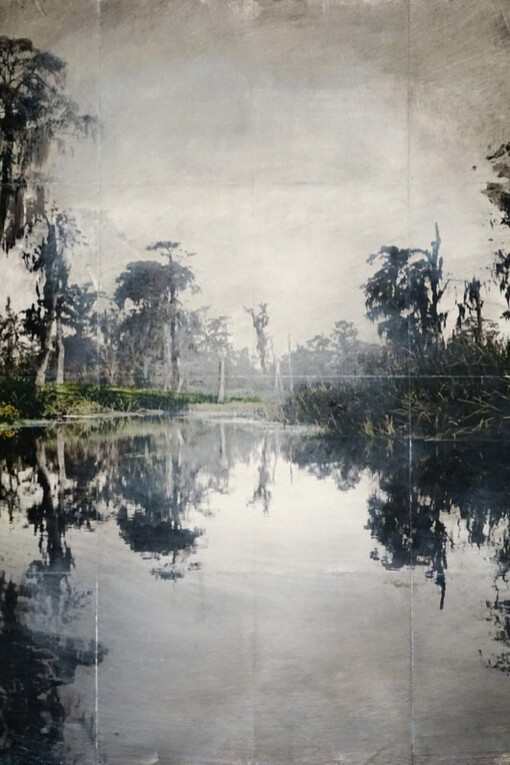
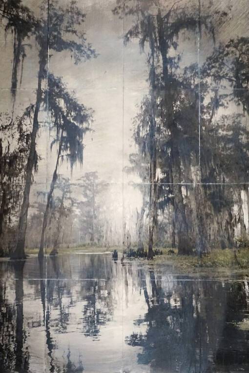
Throughout the swamps and bayou backwaters of coastal Louisiana simmers a quiet crisis. The land is disappearing at the rate of a football field every hour, this is not hyperbole, this is happening. The “mighty” Mississippi, a mythic river with humble beginnings at Lake Itasca in Minnesota is responsible for creating most of the coastline of Louisiana.
Sediment and topsoil dislodged from areas as far away as the Canadian prairies was deposited over centuries forming coastal wetlands. During the 1930’s strict levees were put in place by the U.S Army Corps of Engineers to control catastrophic flooding. This action in combination with oil production, sinking land, and sea level rise has spawned a perfect storm of decline. This tight control of the river means that no new sediments are deposited on a landscape that is literally vanishing.
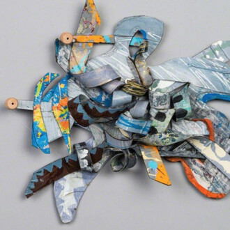
My fascination with this phenomenon began in 2014 with an article written by Brett Anderson for Medium magazine entitled “Louisiana Loses Its Boot”. This piece illustrates the idea that the image depicting the state symbol of Louisiana doesn’t match the current rate at which land is being lost. I am interested and concerned about the fact that once vibrant areas have been transformed into open water. What used to be a small community or cow pasture has been ghosted, a place where you expect land to be but upon return find it no longer exists. I set out to explore areas currently under threat from this calamity in an effort to create a poetic record of the time. My practice demonstrates the narrative potential of landscapes through the intersection of painting and photography.
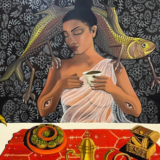
I am interested in the space of land as a cultural construct and the way in which humans confer meaning onto nature creating symbolic environments. My process is comprised of manipulated digital photography in combination with various media. The image is further disrupted by an enigmatic grid giving rise to the notion of a mapped territory.
Landscapes can have a symbolic power that reflects the cultural identity of the observer. I have always endeavored to situate my artwork into an historical context, reflecting previous painting schools associated with the sacred and sublime while utilizing materials connected to digital photography. In contrast to the Hudson River School which is typified by discovery and exploration this new body of work seeks to uncover a landscape in flux, a document of a coast in transition.
For millennia the Mississippi river created land giving rise to the wetlands and creating a complex delta of rivers and bayous. As long as the river had remained unimpeded it could continue sculpting areas of land which in turn gave rise to a diverse ecology. Through man made engineering and industry this land is now threatened taking with it a rich cultural heritage.
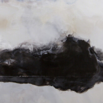
The Master Plan, a restoration project initiated by the state legislature in 2007 is an attempt to stem the disaster by putting in place new levees, supplying additional sediment to sinking areas and revitalizing the Mississippi’s connection to the delta. But time is running out and if sea level rise becomes a worst case scenario there simply won’t be a way to catch up. Landscapes have historically been a barometer of the time reflecting a cultures prosperity or shift in thinking. This exhibition aims to present idealized interpretations of the swamp while simultaneously creating an archive of delta landscapes at risk. Through the use of photographic documentation, mixed media, and repurposed materials I hope to illuminate the scope of this climate crisis while showing what can potentially be saved.
![Isamu Noguchi, Model for US pavilion expo ’70 [unrealized], 1968. Courtesy of High Museum of Art](/attachments/71f96babdf072b34508e50d75e23c82cff1c3a47/store/fill/330/330/ea438c15ffbd9a045abd399d68efb6a3ddd47177aa74dbdcb2f6f0250c38/Isamu-Noguchi-Model-for-US-pavilion-expo-70-unrealized-1968-Courtesy-of-High-Museum-of-Art.jpg)