English
 Español
 Français
 Deutsch
 Italiano
 Português
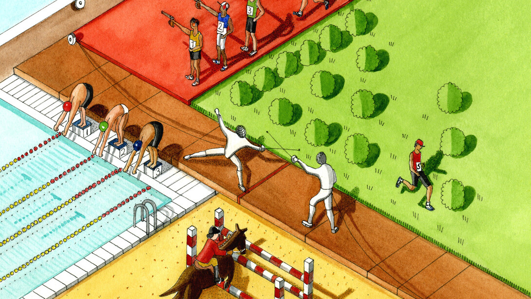
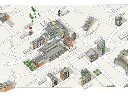
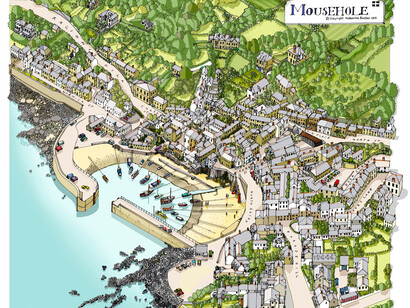
Début Art and The Coningsby Gallery are proud to present a solo exhibition of works by illustrator and mapmaker Katherine Baxter.
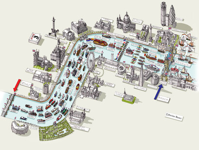
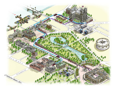
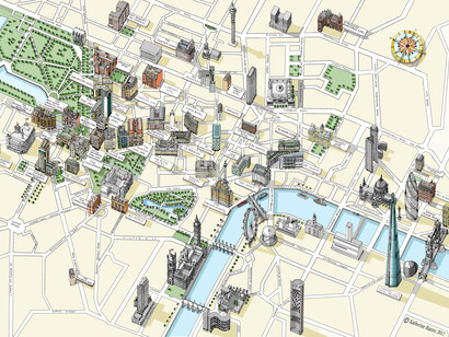
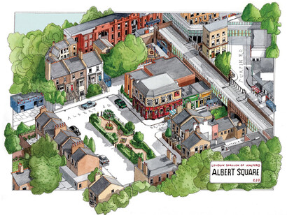
"Ever since I was a child, I’ve been fascinated by looking at the world from above, whether it was a model village or from the top of the Empire State Building. Since leaving Bath Academy of Art, this has been my inspiration in creating pictorial maps, aerial views and architectural vistas of cities, towns, and villages all over the world, although London and New York are top of the list, I have been lucky enough to have been commissioned by a number of clients including the Times, the Radio Times and the Daily Telegraph to explore and illustrate large areas of London, and it still gives me joy to create something new.
I illustrate using traditional drawing methods, my trusty rotring pens are my constant companions, although I do use the computer for coloring and creating digital files, my passion still lies in the actual mark making of pen on paper." - Katherine Baxter
A satnav map may get you to your destination. Katherine Baxter’s maps will take you on a journey in your mind and they will inform, entertain and delight along the way.
Her poster maps of London and New York are worthy of any gallery. Her designs for Royal Mail have graced many a doormat. Her architectural drawings are the result of scrupulous research and her illustrations for newspapers, filled with wit, engage the brain.
The next time you plan a trip, use a Katherine Baxter map and get lost – in detail.